
Mapping
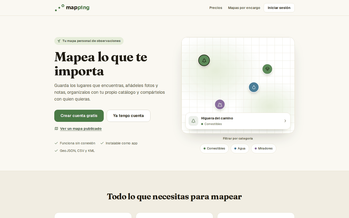
Mapping is a map app for saving and organising field observations: you mark a real point — a tree, a shop, an incident, a viewpoint —, add photos and notes, and classify it with your own catalogue.
It is built for people who work away from the office and need to record what they see from their phone, even with no signal. A map can be individual or shared with a team at different permission levels.
Features
Mark a point in two taps: from GPS or by long-pressing the map, with a draggable pin to fine-tune the position.
Automatic address for each mark via reverse geocoding.
Your own catalogue of reusable elements and categories with colour and icon that paint the points on the map.
Photos and notes per mark, with server-generated thumbnails and a carousel on the detail page.
Shared maps with roles (owner, editor, reader) and invitations by link or email.
Share a single mark through a public link with a revocable token.
Export to GeoJSON, CSV and KML respecting the active filters, plus GeoJSON import that reconciles the catalogue.
Offline use and installable: writes made without a connection are queued and sync themselves once signal returns.
Technologies used
Offline-first built by hand
A custom service worker that caches map tiles, and a write queue in IndexedDB with a pending counter. No magic libraries: full control.
Your data is never held hostage
Three export formats and idempotent import: portability is a product feature, not a promise.
No paid map providers
MapLibre over open tiles: zero dependency on a Mapbox or Google token that changes price one day.
A proven foundation for projects like…
- Town councils and urban services: inventory of trees, street furniture or incidents, exportable to their GIS systems.
- Field teams (maintenance, inspection, agriculture) that log points without signal and sync on their return.
- Community mapping and citizen science: springs, trails, species or heritage fed by several people.
No fixed rates: every project is quoted on its real scope.